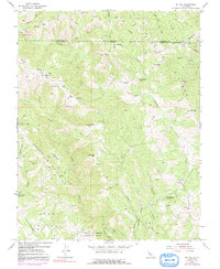
1955 Map of Mt. Day
USGS Topo · Published 1991About this map
Mt Day and the surrounding heights of the Diablo Range define this 1955 survey area, straddling the boundary between Alameda and Santa Clara counties. The landscape is dominated by steep ridgelines like Oak Ridge and Poverty Ridge, separated by deep drainage systems such as Arroyo Hondo and Alameda Creek. This map captures a largely undeveloped wilderness prior to the expansion of regional park systems, though the beginnings of public land management are visible at Camp Ohlone Regional Park and Joseph D. Grant County Park.
Find a feature on this map
41 named features on this map. Tap any name to fly to it.
Don’t see what you’re looking for? This feature index may not catch every label — zoom into the map to look around manually.
Map Details
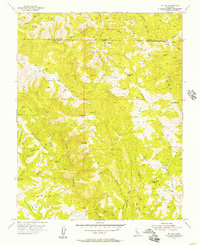
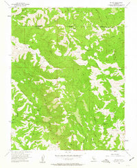
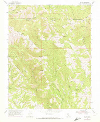
Editions of this 1955 Mt. Day Map
4 editions found
Other maps of this area

1889 · San Jose
USGS Topo · 1:62,500

1897 · San Jose
USGS Topo · 1:62,500

1897 · Mt. Hamilton
USGS Topo · 1:62,500

1899 · San Jose
USGS Topo · 1:62,500

1906 · Pleasanton
USGS Topo · 1:62,500

1907 · Tesla
USGS Topo · 1:62,500

1941 · Pleasanton
USGS Topo · 1:62,500

1942 · Mt. Hamilton
USGS Topo · 1:62,500

1942 · Altamont
USGS Topo · 1:62,500

1943 · Pleasanton
USGS Topo · 1:62,500