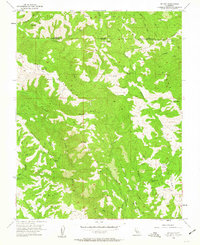
1955 Map of Mt. Day
USGS Topo · Published 1963About this map
Mt Day and Mt Lewis anchor this 1955 survey of the Diablan heights along the Alameda Co and Santa Clara Co border. The landscape is defined by a series of steep, parallel ridges including Oak Ridge, Poverty Ridge, and Beartrap Ridge, cut by the deep drainage of Arroyo Hondo. This mid-century study captures a transitional interior wilderness where seasonal encampments like Old Camp and New Camp were still named landmarks and water management was becoming more formal, evidenced by the Upper Cherry Flat Reservoir and the eastern edge of Calaveras Reservoir. A network of Jeep Trails provides the primary access through the canyon systems of Isabel Creek and Alameda Creek, tracing routes into high flats like Van Horn Flats.
Find a feature on this map
40 named features on this map. Tap any name to fly to it.
Don’t see what you’re looking for? This feature index may not catch every label — zoom into the map to look around manually.
Map Details
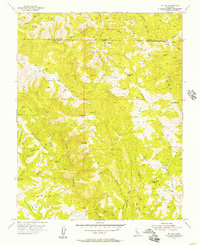
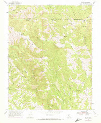
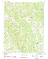
Editions of this 1955 Mt. Day Map
4 editions found
Other maps of this area

1889 · San Jose
USGS Topo · 1:62,500

1897 · San Jose
USGS Topo · 1:62,500

1897 · Mt. Hamilton
USGS Topo · 1:62,500

1899 · San Jose
USGS Topo · 1:62,500

1906 · Pleasanton
USGS Topo · 1:62,500

1907 · Tesla
USGS Topo · 1:62,500

1941 · Pleasanton
USGS Topo · 1:62,500

1942 · Mt. Hamilton
USGS Topo · 1:62,500

1942 · Altamont
USGS Topo · 1:62,500

1943 · Pleasanton
USGS Topo · 1:62,500