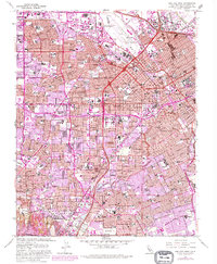
1961 Map of San Jose West
USGS Topo · Published 1980About this map
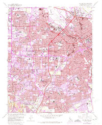
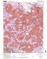
The University of Santa Clara and the adjacent Mission Santa Clara de Asis Historical Monument anchor this detailed survey of the mid-century Santa Clara Valley. As the region transitioned from its agricultural roots toward an increasingly urbanized landscape, the map documents the expansive growth of Santa Clara, San Jose, and Campbell. The Southern Pacific rail lines and historic thoroughfares like El Camino Real and The Alameda define the transport corridors connecting these burgeoning communities. Along the Guadalupe River and Los Gatos Creek, the pattern of residential tracts reveals the rapid postwar development of areas like Willow Glen and Cambrian Park. For local historians, the sheet identifies numerous neighborhood schools such as Abraham Lincoln High Sch and Wilcox High Sch, alongside landmark institutions like the Santa Clara Cemetery and the Municipal Rose Garden.
Find a feature on this map
58 named features on this map. Tap any name to fly to it.
Don’t see what you’re looking for? This feature index may not catch every label — zoom into the map to look around manually.
Map Details
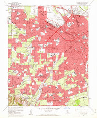
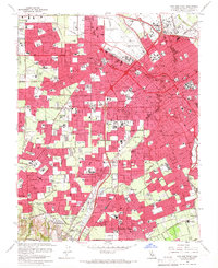
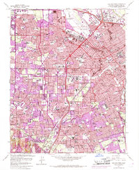
Editions of this 1961 San Jose West Map
6 editions found
Other maps of this area

1889 · San Jose
USGS Topo · 1:62,500

1897 · San Jose
USGS Topo · 1:62,500

1897 · Palo Alto
USGS Topo · 1:62,500

1899 · San Jose
USGS Topo · 1:62,500

1899 · Palo Alto
USGS Topo · 1:62,500

1902 · Santa Cruz
USGS Topo · 1:125,000

1916 · New Almaden
USGS Topo · 1:48,000

1919 · New Almaden
USGS Topo · 1:62,500

1940 · Los Gatos
USGS Topo · 1:62,500

1941 · Palo Alto
USGS Topo · 1:62,500