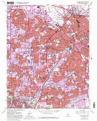
1961 Map of San Jose West
USGS Topo · Published 1980About this map
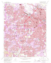
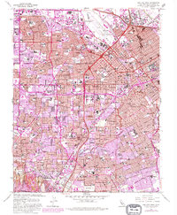
Mission Santa Clara de Asis and the surrounding University of Santa Clara campus anchor the north of this valley study, which documents the rapid mid-century expansion across Santa Clara County. The map details the dense suburban transformation of San Jose, Santa Clara, and Campbell, showing an intricate network of residential streets replacing what was once an agrarian landscape. Significant educational and cultural institutions are prominent, including the Rosicrucian Museum and Planetarium and San Jose State College. The Southern Pacific rail lines and the Nimitz Freeway facilitate the region's connectivity, while the natural courses of the Guadalupe River and Los Gatos Creek wind through the developing neighborhoods of Willow Glen and Burbank. This survey captures the Santa Clara Valley just as it was becoming a preeminent technological and residential hub.
Find a feature on this map
120 named features on this map. Tap any name to fly to it.
Don’t see what you’re looking for? This feature index may not catch every label — zoom into the map to look around manually.
Map Details
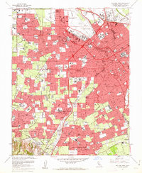
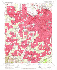
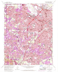
Editions of this 1961 San Jose West Map
6 editions found
Other maps of this area

1889 · San Jose
USGS Topo · 1:62,500

1897 · San Jose
USGS Topo · 1:62,500

1897 · Palo Alto
USGS Topo · 1:62,500

1899 · San Jose
USGS Topo · 1:62,500

1899 · Palo Alto
USGS Topo · 1:62,500

1902 · Santa Cruz
USGS Topo · 1:125,000

1916 · New Almaden
USGS Topo · 1:48,000

1919 · New Almaden
USGS Topo · 1:62,500

1940 · Los Gatos
USGS Topo · 1:62,500

1941 · Palo Alto
USGS Topo · 1:62,500