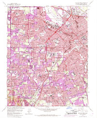
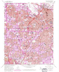
1961 Map of San Jose West
USGS Topo · Published 1969About this map
The Mission Santa Clara de Asis Historical Monument serves as a cultural anchor in this dense mid-century corridor, where the legacy of Spanish colonization meets the rapid post-war expansion of the Santa Clara Valley. The map documents the educational and religious infrastructure of the era, from the University of Santa Clara and San Jose State College to specialized sites like the Carmelite Monastery and Bellarmine College Preparatory.
Find a feature on this map
133 named features on this map. Tap any name to fly to it.
Don’t see what you’re looking for? This feature index may not catch every label — zoom into the map to look around manually.
Map Details
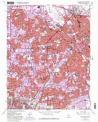
Editions of this 1961 San Jose West Map
6 editions found
Other maps of this area

1889 · San Jose
USGS Topo · 1:62,500

1897 · San Jose
USGS Topo · 1:62,500

1897 · Palo Alto
USGS Topo · 1:62,500

1899 · San Jose
USGS Topo · 1:62,500

1899 · Palo Alto
USGS Topo · 1:62,500

1902 · Santa Cruz
USGS Topo · 1:125,000

1916 · New Almaden
USGS Topo · 1:48,000

1919 · New Almaden
USGS Topo · 1:62,500

1940 · Los Gatos
USGS Topo · 1:62,500

1941 · Palo Alto
USGS Topo · 1:62,500