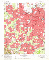
1961 Map of San Jose West
USGS Topo · Published 1962About this map
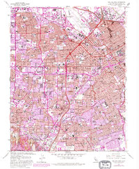
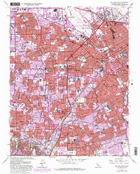
Mission Santa Clara de Asis Historical Monument anchors the heart of this post-war landscape, situated alongside the University of Santa Clara. The map documents a period of rapid suburban transformation across the Santa Clara Valley, where vast residential tracts and numerous new schools like Wilcox High Sch and Buchser High Sch are shown emerging between the established downtowns of Santa Clara and San Jose. The industrial and transportation infrastructure of the early 1960s is clearly visible, including the San Jose Municipal Airport and the path of the Bayshore Freeway. From the orchards and early developments in Campbell to the residential growth in Willow Glen, the survey captures the shifting character of the valley floor as it moved away from its agricultural roots. The southern reaches near Los Gatos and Saratoga show the early edges of the suburban sprawl meeting the foothills, connected by the Southern Pacific rail lines.
Find a feature on this map
122 named features on this map. Tap any name to fly to it.
Don’t see what you’re looking for? This feature index may not catch every label — zoom into the map to look around manually.
Map Details
Editions of this 1961 San Jose West Map
6 editions found
Other maps of this area

1889 · San Jose
USGS Topo · 1:62,500

1897 · San Jose
USGS Topo · 1:62,500

1897 · Palo Alto
USGS Topo · 1:62,500

1899 · San Jose
USGS Topo · 1:62,500

1899 · Palo Alto
USGS Topo · 1:62,500

1902 · Santa Cruz
USGS Topo · 1:125,000

1916 · New Almaden
USGS Topo · 1:48,000

1919 · New Almaden
USGS Topo · 1:62,500

1940 · Los Gatos
USGS Topo · 1:62,500

1941 · Palo Alto
USGS Topo · 1:62,500