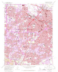
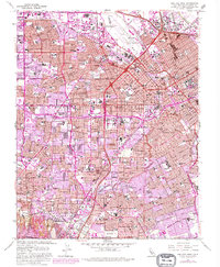
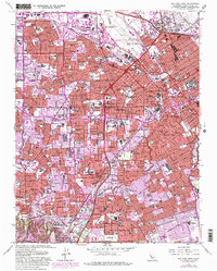
1961 Map of San Jose West
USGS Topo · Published 1975About this map
Mission Santa Clara de Asis Historical Monument and the University of Santa Clara anchor this mid-century portrait of a rapidly expanding Santa Clara Valley. As the region transitioned from its agricultural roots to a suburban and industrial powerhouse, residential developments began to fill the spaces between established centers like Santa Clara, Campbell, and Saratoga. The infrastructure of the era is clearly visible, from the Southern Pacific rail lines to the newly established Bayshore Freeway.
Find a feature on this map
136 named features on this map. Tap any name to fly to it.
Don’t see what you’re looking for? This feature index may not catch every label — zoom into the map to look around manually.
Map Details
Editions of this 1961 San Jose West Map
6 editions found
Other maps of this area

1889 · San Jose
USGS Topo · 1:62,500

1897 · San Jose
USGS Topo · 1:62,500

1897 · Palo Alto
USGS Topo · 1:62,500

1899 · San Jose
USGS Topo · 1:62,500

1899 · Palo Alto
USGS Topo · 1:62,500

1902 · Santa Cruz
USGS Topo · 1:125,000

1916 · New Almaden
USGS Topo · 1:48,000

1919 · New Almaden
USGS Topo · 1:62,500

1940 · Los Gatos
USGS Topo · 1:62,500

1941 · Palo Alto
USGS Topo · 1:62,500