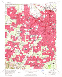
1961 Map of San Jose West
USGS Topo · Published 1966About this map
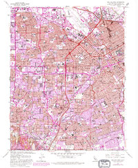
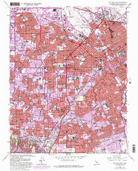
The Mission Santa Clara de Asis Historical Monument anchors the northern landscape of this map, representing the deep colonial roots of the Santa Clara Valley. By the early 1960s, the region was undergoing a rapid transformation from agricultural land to an urbanized corridor. The Southern Pacific railroad and the Bayshore Freeway serve as primary transportation arteries, while the expansion of residential districts is evidenced by the high density of neighborhood schools such as Blackford High Sch and Mary Gomez Sch. Significant cultural and institutional landmarks include the Rosicrucian Museum and Planetarium and the San Jose Municipal Airport. The map also captures several distinct communities before they fully merged into the larger metropolitan sprawl, including Willow Glen, Burbank, and Cambrian Village. A notable geographical detail in the margin indicates that the northern two-thirds of this area sits within a subsidence zone, reflecting the historical impact of groundwater extraction on the valley floor.
Find a feature on this map
139 named features on this map. Tap any name to fly to it.
Don’t see what you’re looking for? This feature index may not catch every label — zoom into the map to look around manually.
Map Details
Editions of this 1961 San Jose West Map
6 editions found
Other maps of this area

1889 · San Jose
USGS Topo · 1:62,500

1897 · San Jose
USGS Topo · 1:62,500

1897 · Palo Alto
USGS Topo · 1:62,500

1899 · San Jose
USGS Topo · 1:62,500

1899 · Palo Alto
USGS Topo · 1:62,500

1902 · Santa Cruz
USGS Topo · 1:125,000

1916 · New Almaden
USGS Topo · 1:48,000

1919 · New Almaden
USGS Topo · 1:62,500

1940 · Los Gatos
USGS Topo · 1:62,500

1941 · Palo Alto
USGS Topo · 1:62,500