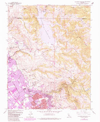
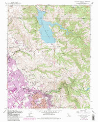
1961 Map of Calaveras Reservoir
USGS Topo · Published 1984About this map
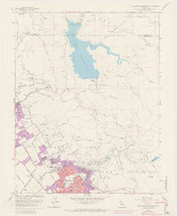
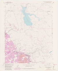
The Calaveras Reservoir dominates the northern landscape of this region, serving as a primary water source surrounded by the high ridges of Oak Ridge and Poverty Ridge. To the southwest, the transition from the rugged Los Buellis Hills into the expanding suburban reaches of San Jose and Milpitas is clearly visible. This area includes the historic Pueblo Lands of San Jose and the sprawling Alum Rock Park, which features Mineral Springs and numerous hiking trails along Penitencia Creek. Educational development in the early 1960s is evidenced by several campuses, including Rancho Milpitas Jr High Sch and Piedmont Hills High Sch. The map also captures the industrial footprint of the era, noting several Quarries and a Gravel Pit along the Arroyo de los Coches, reflecting the local demand for construction materials during the post-war boom.
Find a feature on this map
57 named features on this map. Tap any name to fly to it.
Don’t see what you’re looking for? This feature index may not catch every label — zoom into the map to look around manually.
Map Details
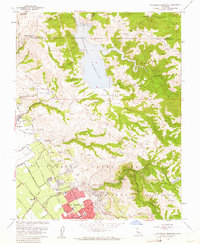
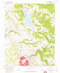
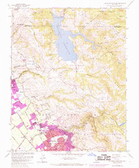
Editions of this 1961 Calaveras Reservoir Map
9 editions found
Other maps of this area

1889 · San Jose
USGS Topo · 1:62,500

1897 · San Jose
USGS Topo · 1:62,500

1897 · Mt. Hamilton
USGS Topo · 1:62,500

1899 · San Jose
USGS Topo · 1:62,500

1906 · Pleasanton
USGS Topo · 1:62,500

1907 · Tesla
USGS Topo · 1:62,500

1941 · Pleasanton
USGS Topo · 1:62,500

1942 · Mt. Hamilton
USGS Topo · 1:62,500

1942 · Altamont
USGS Topo · 1:62,500

1943 · Pleasanton
USGS Topo · 1:62,500