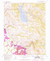
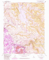
1961 Map of Calaveras Reservoir
USGS Topo · Published 1969About this map
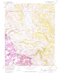
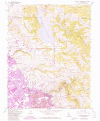
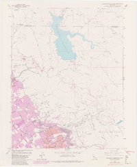
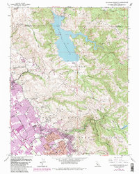
Calaveras Reservoir dominates the northern landscape, its waters contained by a dam and surrounded by the peaks of Oak Ridge and Poverty Ridge. In the southwest, the expansion of San Jose and Milpitas is evident in the burgeoning street grids of neighborhoods like Alum Rock, where the city boundary meets the historic Pueblo Lands of San Jose. This era of growth is marked by a concentration of educational institutions, including Rancho Milpitas Jr High Sch and Piedmont Hills High Sch, which serve the newly developed suburban tracts. To the east, the terrain rises sharply into the Los Buellis Hills, where Alum Rock Park follows the winding path of Upper Penitencia Creek. The map documents a period of rapid suburbanization as urban footprints press against the long-standing agricultural and quarry operations of the Calaveras Valley.
Find a feature on this map
48 named features on this map. Tap any name to fly to it.
Don’t see what you’re looking for? This feature index may not catch every label — zoom into the map to look around manually.
Map Details
Editions of this 1961 Calaveras Reservoir Map
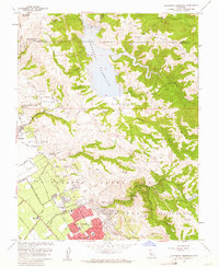
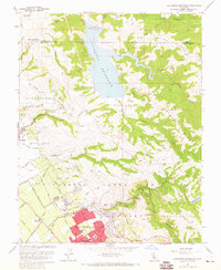
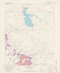
9 editions found
Other maps of this area

1889 · San Jose
USGS Topo · 1:62,500

1897 · San Jose
USGS Topo · 1:62,500

1897 · Mt. Hamilton
USGS Topo · 1:62,500

1899 · San Jose
USGS Topo · 1:62,500

1906 · Pleasanton
USGS Topo · 1:62,500

1907 · Tesla
USGS Topo · 1:62,500

1941 · Pleasanton
USGS Topo · 1:62,500

1942 · Mt. Hamilton
USGS Topo · 1:62,500

1942 · Altamont
USGS Topo · 1:62,500

1943 · Pleasanton
USGS Topo · 1:62,500