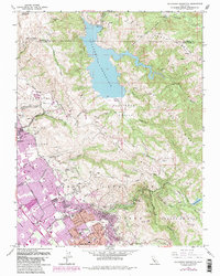
1961 Map of Calaveras Reservoir
USGS Topo · Published 1984About this map
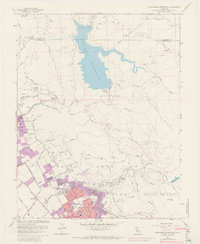
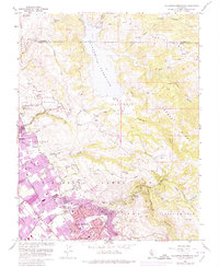
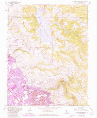
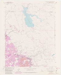
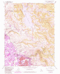
The Calaveras Reservoir dominates the northern reaches of this landscape, its waters contained by a Diversion Dam and fed by Alameda Creek. To the south, the expansion of San Jose and Milpitas is evident in the detailed street grids and school sites like Rancho Milpitas Jr High Sch and Linda Vista Sch. The rugged uplands of Calaveras Ridge and Poverty Ridge contrast sharply with the suburban growth, housing the Calaveras Test Site and numerous quarries. Local recreation and land use are well-defined, showing the San Jose Country Club and the extensive grounds of Alum Rock Park, which follows the steep terrain of Alum Rock Canyon. This map captures a period of significant suburban development as it encroaches upon the historic Pueblo Lands of San Jose and the hills of Canada de Pala.
Find a feature on this map
61 named features on this map. Tap any name to fly to it.
Don’t see what you’re looking for? This feature index may not catch every label — zoom into the map to look around manually.
Map Details
Editions of this 1961 Calaveras Reservoir Map
9 editions found
Other maps of this area

1889 · San Jose
USGS Topo · 1:62,500

1897 · San Jose
USGS Topo · 1:62,500

1897 · Mt. Hamilton
USGS Topo · 1:62,500

1899 · San Jose
USGS Topo · 1:62,500

1906 · Pleasanton
USGS Topo · 1:62,500

1907 · Tesla
USGS Topo · 1:62,500

1941 · Pleasanton
USGS Topo · 1:62,500

1942 · Mt. Hamilton
USGS Topo · 1:62,500

1942 · Altamont
USGS Topo · 1:62,500

1943 · Pleasanton
USGS Topo · 1:62,500