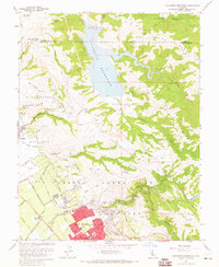
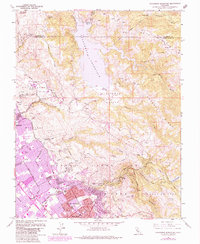
1961 Map of Calaveras Reservoir
USGS Topo · Published 1965About this map
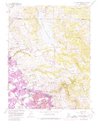
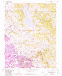
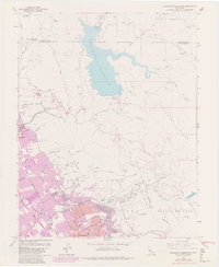
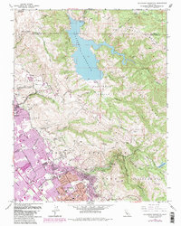
The Calaveras Reservoir dominates the northern terrain of this 1961 field-checked survey, illustrating the complex water management infrastructure of the Diablo Range. Fed by Arroyo Honda and Calaveras Creek, the reservoir is supported by a Filtration Plant and proximity to the Calaveras Test Site. Further south, the landscape transitions from the steep grades of Oak Ridge and Poverty Ridge into the growing suburban and agricultural outskirts of San Jose and Milpitas. This era shows the early expansion of neighborhoods like Berryessa and Alum Rock, where the city grid begins to climb the foothills of the Los Buellis Hills. Civil and social infrastructure is well-marked, including the San Jose Hospital, Spring Valley Golf Club, and local education centers such as Air Point Sch and Piedmont Sch. Extensive public land use is evident in the detailed mapping of Alum Rock Park and the historic Pueblo Lands of San Jose.
Find a feature on this map
52 named features on this map. Tap any name to fly to it.
Don’t see what you’re looking for? This feature index may not catch every label — zoom into the map to look around manually.
Map Details
Editions of this 1961 Calaveras Reservoir Map
9 editions found
Other maps of this area

1889 · San Jose
USGS Topo · 1:62,500

1897 · San Jose
USGS Topo · 1:62,500

1897 · Mt. Hamilton
USGS Topo · 1:62,500

1899 · San Jose
USGS Topo · 1:62,500

1906 · Pleasanton
USGS Topo · 1:62,500

1907 · Tesla
USGS Topo · 1:62,500

1941 · Pleasanton
USGS Topo · 1:62,500

1942 · Mt. Hamilton
USGS Topo · 1:62,500

1942 · Altamont
USGS Topo · 1:62,500

1943 · Pleasanton
USGS Topo · 1:62,500