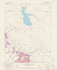
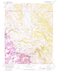
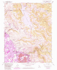
1961 Map of Calaveras Reservoir
USGS Topo · Published 1969About this map
Calaveras Reservoir dominates the northern landscape of this survey, fed by the waters of Arroyo Hondo and Calaveras Creek. The rugged eastern ridges, including Oak Ridge and Poverty Ridge, stand in contrast to the rapid urban expansion emerging in the San Jose and Milpitas areas to the southwest. This 1961 edition, updated with 1968 purple revisions, documents the post-war transition of agricultural valleys into suburban residential clusters.
Find a feature on this map
56 named features on this map. Tap any name to fly to it.
Don’t see what you’re looking for? This feature index may not catch every label — zoom into the map to look around manually.
Map Details
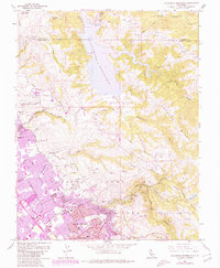
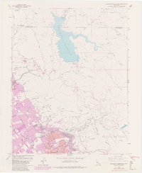
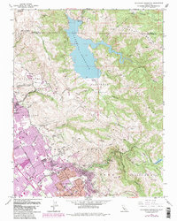
Editions of this 1961 Calaveras Reservoir Map
9 editions found
Other maps of this area

1889 · San Jose
USGS Topo · 1:62,500

1897 · San Jose
USGS Topo · 1:62,500

1897 · Mt. Hamilton
USGS Topo · 1:62,500

1899 · San Jose
USGS Topo · 1:62,500

1906 · Pleasanton
USGS Topo · 1:62,500

1907 · Tesla
USGS Topo · 1:62,500

1941 · Pleasanton
USGS Topo · 1:62,500

1942 · Mt. Hamilton
USGS Topo · 1:62,500

1942 · Altamont
USGS Topo · 1:62,500

1943 · Pleasanton
USGS Topo · 1:62,500