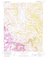
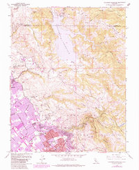
1961 Map of Calaveras Reservoir
USGS Topo · Published 1974About this map
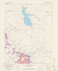
Calaveras Reservoir dominates the high ground of the Diablo Range in this 1961 survey, showing the complex watershed management that serves the growing Santa Clara Valley. The map documents the rapid suburban expansion of San Jose and Milpitas as residential tracts begin to climb the western foothills. Within the Pueblo Lands of San Jose, a dense network of local institutions appears, including San Jose Hospital and the San Jose Country Club.
Find a feature on this map
71 named features on this map. Tap any name to fly to it.
Don’t see what you’re looking for? This feature index may not catch every label — zoom into the map to look around manually.
Map Details
Editions of this 1961 Calaveras Reservoir Map
9 editions found
Other maps of this area

1889 · San Jose
USGS Topo · 1:62,500

1897 · San Jose
USGS Topo · 1:62,500

1897 · Mt. Hamilton
USGS Topo · 1:62,500

1899 · San Jose
USGS Topo · 1:62,500

1906 · Pleasanton
USGS Topo · 1:62,500

1907 · Tesla
USGS Topo · 1:62,500

1941 · Pleasanton
USGS Topo · 1:62,500

1942 · Mt. Hamilton
USGS Topo · 1:62,500

1942 · Altamont
USGS Topo · 1:62,500

1943 · Pleasanton
USGS Topo · 1:62,500