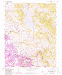
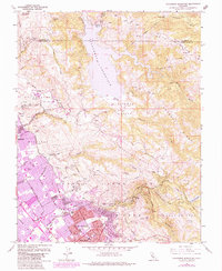
1961 Map of Calaveras Reservoir
USGS Topo · Published 1980About this map
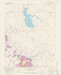
The Calaveras Reservoir dominates the rugged transition between the Alameda and Santa Clara county line, where the high ridges of Oak Ridge and Poverty Ridge descend into the northern Santa Clara Valley. This 1961 field-checked survey, updated in 1980, documents the suburban expansion of Milpitas and San Jose as they push toward the foothills of the Los Buellis Hills. The map captures a mix of industrial and civic development, showing numerous quarries and gravel pits alongside established institutions like the San Jose Country Club and the Spring Valley Golf Club.
Find a feature on this map
68 named features on this map. Tap any name to fly to it.
Don’t see what you’re looking for? This feature index may not catch every label — zoom into the map to look around manually.
Map Details
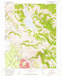
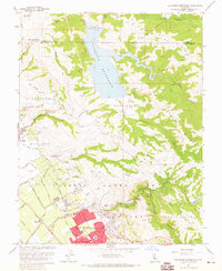
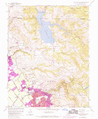
Editions of this 1961 Calaveras Reservoir Map
9 editions found
Other maps of this area

1889 · San Jose
USGS Topo · 1:62,500

1897 · San Jose
USGS Topo · 1:62,500

1897 · Mt. Hamilton
USGS Topo · 1:62,500

1899 · San Jose
USGS Topo · 1:62,500

1906 · Pleasanton
USGS Topo · 1:62,500

1907 · Tesla
USGS Topo · 1:62,500

1941 · Pleasanton
USGS Topo · 1:62,500

1942 · Mt. Hamilton
USGS Topo · 1:62,500

1942 · Altamont
USGS Topo · 1:62,500

1943 · Pleasanton
USGS Topo · 1:62,500