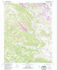
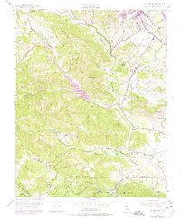
1955 Map of Mt. Madonna
USGS Topo · Published 1994About this map
Mt Madonna County Park dominates the southern ridge of this landscape, where the San Andreas Rift Zone carves a distinct geological boundary through the terrain. The map captures the mid-century transition of the Santa Clara Valley, showing the growth of Morgan Hill alongside historical land grants such as Ojo De Agua De La Coche and San Francisco De Las Llagas. Rural life is centered around local institutions like Llagas School, Machado School, and the Mt Hope Cem near the valley floor.
Find a feature on this map
39 named features on this map. Tap any name to fly to it.
Don’t see what you’re looking for? This feature index may not catch every label — zoom into the map to look around manually.
Map Details
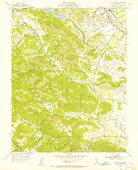
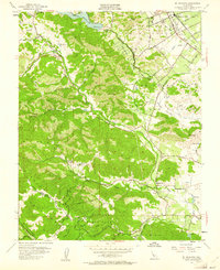
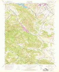
Editions of this 1955 Mt. Madonna Map
6 editions found
Other maps of this area

1912 · Capitola
USGS Topo · 1:62,500

1914 · Capitola
USGS Topo · 1:62,500

1915 · San Juan Bautista
USGS Topo · 1:48,000

1916 · New Almaden
USGS Topo · 1:48,000

1917 · Morgan Hill
USGS Topo · 1:62,500

1917 · San Juan Bautista
USGS Topo · 1:62,500

1919 · New Almaden
USGS Topo · 1:62,500

1939 · Morgan Hill
USGS Topo · 1:62,500

1939 · San Juan Bautista
USGS Topo · 1:62,500

1940 · San Juan Bautista
USGS Topo · 1:62,500