
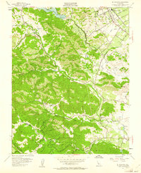
1955 Map of Mt. Madonna
USGS Topo · Published 1956About this map
The Santa Cruz Mountains divide the landscape of this 1955 survey, where the Santa Clara Valley meets the high ridges of Mt Madonna County Park. The burgeoning community of Morgan Hill anchors the northeast, positioned along the Southern Pacific railroad line and the historic Vascoez Tree Historical Marker. Rural life in the mid-century is evident in the presence of the Machado School and Adams Sch, while the western slopes are defined by more secluded enclaves like Redwood Retreat.
Find a feature on this map
37 named features on this map. Tap any name to fly to it.
Don’t see what you’re looking for? This feature index may not catch every label — zoom into the map to look around manually.
Map Details
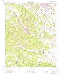
Editions of this 1955 Mt. Madonna Map
6 editions found
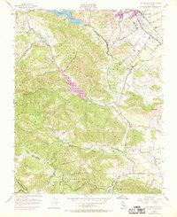
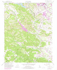

Other maps of this area

1912 · Capitola
USGS Topo · 1:62,500

1914 · Capitola
USGS Topo · 1:62,500

1915 · San Juan Bautista
USGS Topo · 1:48,000

1916 · New Almaden
USGS Topo · 1:48,000

1917 · Morgan Hill
USGS Topo · 1:62,500

1917 · San Juan Bautista
USGS Topo · 1:62,500

1919 · New Almaden
USGS Topo · 1:62,500

1939 · Morgan Hill
USGS Topo · 1:62,500

1939 · San Juan Bautista
USGS Topo · 1:62,500

1940 · San Juan Bautista
USGS Topo · 1:62,500