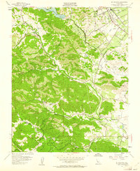
1955 Map of Mt. Madonna
USGS Topo · Published 1961About this map
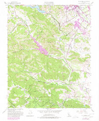
Morgan Hill serves as a prominent gateway to the eastern slopes of the Santa Cruz Mts in the mid-1950s, where agricultural valley land meets the rising timber and canyons of the coast range. The map illustrates a landscape transitioning from the organized grid of orchards and vineyards along the Southern Pacific rail line to the winding roads of the foothills, such as Uvas Road and Watsonville Road. Local educational and social hubs like Machado School and Adams Sch are clearly marked, alongside the Mt Hope Cem and the distinctive Vaquero Tree Historical Marker. To the west, the topography becomes significantly more complex, defined by the San Andreas Rift Zone and the high point of Mt Madonna. This area includes the extensive Mt Madonna County Park and the secluded Redwood Retreat, highlighting the region's importance for both watershed management and early recreation.
Find a feature on this map
42 named features on this map. Tap any name to fly to it.
Don’t see what you’re looking for? This feature index may not catch every label — zoom into the map to look around manually.
Map Details
Editions of this 1955 Mt. Madonna Map
6 editions found
Other maps of this area

1912 · Capitola
USGS Topo · 1:62,500

1914 · Capitola
USGS Topo · 1:62,500

1915 · San Juan Bautista
USGS Topo · 1:48,000

1916 · New Almaden
USGS Topo · 1:48,000

1917 · Morgan Hill
USGS Topo · 1:62,500

1917 · San Juan Bautista
USGS Topo · 1:62,500

1919 · New Almaden
USGS Topo · 1:62,500

1939 · Morgan Hill
USGS Topo · 1:62,500

1939 · San Juan Bautista
USGS Topo · 1:62,500

1940 · San Juan Bautista
USGS Topo · 1:62,500