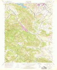
1955 Map of Mt. Madonna
USGS Topo · Published 1969About this map
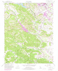
Morgan Hill anchors the northeastern corner of this 1955 survey, where the Southern Pacific railroad and U.S. Highway 101 parallel the base of the Santa Cruz Mountains. The landscape is defined by the complex hydrology of the region, featuring major installations such as Chesbro Reservoir and Uvas Reservoir, which capture runoff from Little Uvas Creek and Llagas Creek. Purple revision tints from 1968 highlight the post-war suburban expansion creeping toward the hills from the Santa Clara Valley.
Find a feature on this map
33 named features on this map. Tap any name to fly to it.
Don’t see what you’re looking for? This feature index may not catch every label — zoom into the map to look around manually.
Map Details
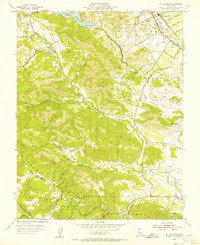
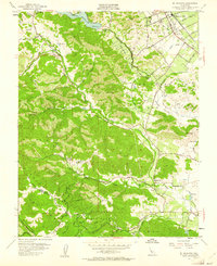
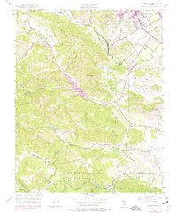
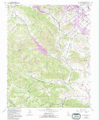
Editions of this 1955 Mt. Madonna Map
6 editions found
Other maps of this area

1912 · Capitola
USGS Topo · 1:62,500

1914 · Capitola
USGS Topo · 1:62,500

1915 · San Juan Bautista
USGS Topo · 1:48,000

1916 · New Almaden
USGS Topo · 1:48,000

1917 · Morgan Hill
USGS Topo · 1:62,500

1917 · San Juan Bautista
USGS Topo · 1:62,500

1919 · New Almaden
USGS Topo · 1:62,500

1939 · Morgan Hill
USGS Topo · 1:62,500

1939 · San Juan Bautista
USGS Topo · 1:62,500

1940 · San Juan Bautista
USGS Topo · 1:62,500