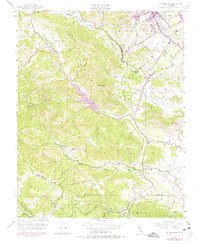
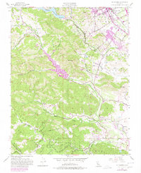
1955 Map of Mt. Madonna
USGS Topo · Published 1975About this map
Mt Madonna County Park dominates the southern high ground of this landscape where the Santa Cruz Mts meet the agricultural valleys of the central coast. The 1955 survey, with later revisions in the 1960s and 70s, captures a transition from rural ranching to modern water management, anchored by the Chesbro Reservoir and Uvas Reservoir. Along the eastern edge, the Southern Pacific railroad passes through Morgan Hill, while the San Andreas Rift Zone traces a clear geological boundary in the southwest corner.
Find a feature on this map
37 named features on this map. Tap any name to fly to it.
Don’t see what you’re looking for? This feature index may not catch every label — zoom into the map to look around manually.
Map Details
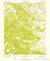
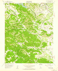
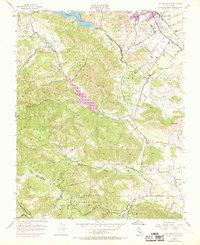
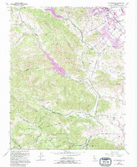
Editions of this 1955 Mt. Madonna Map
6 editions found
Other maps of this area

1912 · Capitola
USGS Topo · 1:62,500

1914 · Capitola
USGS Topo · 1:62,500

1915 · San Juan Bautista
USGS Topo · 1:48,000

1916 · New Almaden
USGS Topo · 1:48,000

1917 · Morgan Hill
USGS Topo · 1:62,500

1917 · San Juan Bautista
USGS Topo · 1:62,500

1919 · New Almaden
USGS Topo · 1:62,500

1939 · Morgan Hill
USGS Topo · 1:62,500

1939 · San Juan Bautista
USGS Topo · 1:62,500

1940 · San Juan Bautista
USGS Topo · 1:62,500