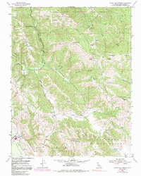
1955 Map of Gilroy Hot Springs
USGS Topo · Published 1991About this map
Gilroy Hot Springs stands as a focal point in this 1950s study of the eastern Santa Clara Valley highlands. The landscape is defined by the sharp elevations of Palassou Ridge and Phegley Ridge, where the winding Coyote Creek carves a path through the canyon floors. Large historical land grants including Llano Del Tequisquita and Ausaymas Y San Felipe dominate the southern sections, reflecting the enduring influence of Spanish and Mexican rancho boundaries on the California landscape. High peaks such as Wilson Peak and Kickham Peak provide topographical context for a region transitioning into protected wilderness, with the northern portion dedicated to Henry Willard Coe State Park. Researchers can trace old mountain routes like Hunting Hollow Road and identify specific local landmarks including Wilson Ranch and Pigeon Point.
Find a feature on this map
31 named features on this map. Tap any name to fly to it.
Don’t see what you’re looking for? This feature index may not catch every label — zoom into the map to look around manually.
Map Details
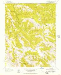
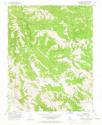
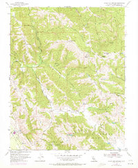
Editions of this 1955 Gilroy Hot Springs Map
4 editions found
Other maps of this area

1915 · San Juan Bautista
USGS Topo · 1:48,000

1917 · Morgan Hill
USGS Topo · 1:62,500

1917 · San Juan Bautista
USGS Topo · 1:62,500

1919 · Hollister
USGS Topo · 1:48,000

1921 · Gilroy Hot Springs
USGS Topo · 1:62,500

1921 · Hollister
USGS Topo · 1:62,500

1923 · Hollister
USGS Topo · 1:62,500

1939 · Morgan Hill
USGS Topo · 1:62,500

1939 · Gilroy Hot Springs
USGS Topo · 1:62,500

1939 · San Juan Bautista
USGS Topo · 1:62,500