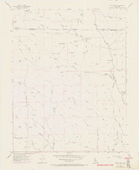
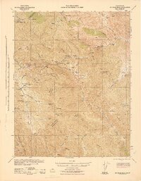
1955 Map of Eylar Mtn
USGS Topo · Published 1972About this map
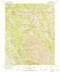
Arroyo Mocho and Arroyo Valle carve through the high ridgelines of the Diablo Range along the border of Alameda and Santa Clara counties. This mid-century survey reveals a landscape defined by seasonal watercourses and remote outposts, featuring several established camps such as Hays Camp, Mowry Camp, and Colorado Camp. The terrain is characterized by a network of steep elevations like Valpe Ridge and the Burnt Hills, with the highest point marked at VABM 4089 Mocho.
Find a feature on this map
41 named features on this map. Tap any name to fly to it.
Don’t see what you’re looking for? This feature index may not catch every label — zoom into the map to look around manually.
Map Details
Editions of this 1955 Eylar Mtn Map
6 editions found
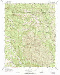
Other maps of this area

1897 · Mt. Hamilton
USGS Topo · 1:62,500

1907 · Tesla
USGS Topo · 1:62,500

1922 · Carbona
USGS Topo · 1:62,500

1938 · Mt. Boardman
USGS Topo · 1:62,500

1942 · Mt. Hamilton
USGS Topo · 1:62,500
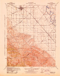
1942 · Carbona
USGS Topo · 1:62,500

1942 · Mt. Boardman
USGS Topo · 1:62,500

1942 · Altamont
USGS Topo · 1:62,500
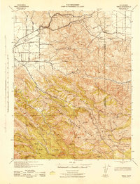
1943 · Tesla
USGS Topo · 1:62,500
1943 · Mt. Boardman
USGS Topo · 1:62,500