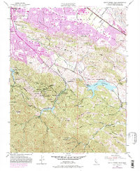
1953 Map of Santa Teresa Hills
USGS Topo · Published 1981About this map
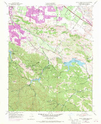
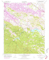
The New Almaden Mine complex anchors the southern portion of this landscape, reflecting a deep industrial heritage centered around Mine Hill. While the northern reaches show the expanding suburban footprint of San Jose and the Southern Pacific rail line, the southern hills preserve traces of a distinct mining culture. This is evident in the identified sites of English Town (Site) and Mexican Camp (Site), alongside the Old Mexican Cemetery, Hidalgo Cemetery, and Hastings Cemetery. The map captures a transition between the dense residential grid emerging along Blossom Hill Road and the earlier agricultural and mineral economies represented by the Peckham Ranch, Stile Ranch, and Gilman Ranch. Water resources like the Calero Reservoir and Almaden Reservoir are prominent, while the Santa Teresa Hills form a natural barrier between the urbanized valley floor and the historic quicksilver mining district.
Find a feature on this map
82 named features on this map. Tap any name to fly to it.
Don’t see what you’re looking for? This feature index may not catch every label — zoom into the map to look around manually.
Map Details
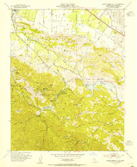
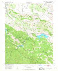
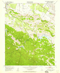
Editions of this 1953 Santa Teresa Hills Map
6 editions found
Other maps of this area

1889 · San Jose
USGS Topo · 1:62,500

1897 · San Jose
USGS Topo · 1:62,500

1897 · Mt. Hamilton
USGS Topo · 1:62,500

1899 · San Jose
USGS Topo · 1:62,500

1916 · New Almaden
USGS Topo · 1:48,000

1917 · Morgan Hill
USGS Topo · 1:62,500

1919 · New Almaden
USGS Topo · 1:62,500

1939 · Morgan Hill
USGS Topo · 1:62,500

1940 · Los Gatos
USGS Topo · 1:62,500

1941 · Morgan Hill
USGS Topo · 1:62,500