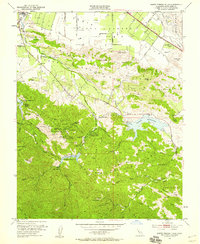
1953 Map of Santa Teresa Hills
USGS Topo · Published 1959About this map
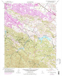
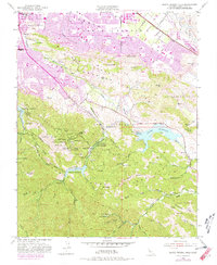
New Almaden and its storied mining district anchor this 1953 survey of the southern Santa Clara Valley. The landscape reveals the specialized geography of the quicksilver industry, centered around Mine Hill and several residential clusters including the English Town and Mexican Camp sites. Genealogists can trace local history through four distinct burial grounds: English Town Cemetery, Mexican Cemetery, Hidalgo Cemetery, and Hacienda Cemetery. Water management for the valley is evident in the Guadalupe Reservoir, Almaden Reservoir, and Calero Reservoir, which capture runoff from Jacques Ridge and the Santa Teresa Hills. Transportation routes like the Southern Pacific Railroad and Almaden Road connect the mining and ranching operations, such as Stile Ranch and Peckham Ranch, to the expanding San Jose region to the north.
Find a feature on this map
68 named features on this map. Tap any name to fly to it.
Don’t see what you’re looking for? This feature index may not catch every label — zoom into the map to look around manually.
Map Details
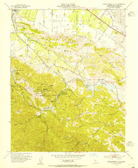
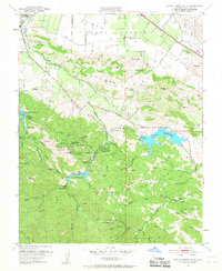
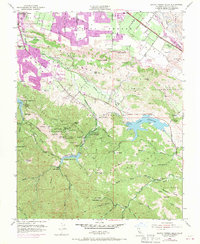
Editions of this 1953 Santa Teresa Hills Map
6 editions found
Other maps of this area

1889 · San Jose
USGS Topo · 1:62,500

1897 · San Jose
USGS Topo · 1:62,500

1897 · Mt. Hamilton
USGS Topo · 1:62,500

1899 · San Jose
USGS Topo · 1:62,500

1916 · New Almaden
USGS Topo · 1:48,000

1917 · Morgan Hill
USGS Topo · 1:62,500

1919 · New Almaden
USGS Topo · 1:62,500

1939 · Morgan Hill
USGS Topo · 1:62,500

1940 · Los Gatos
USGS Topo · 1:62,500

1941 · Morgan Hill
USGS Topo · 1:62,500