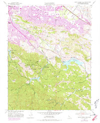
1953 Map of Santa Teresa Hills
USGS Topo · Published 1981About this map
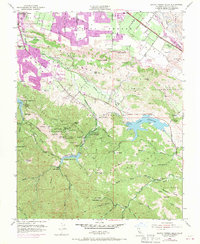
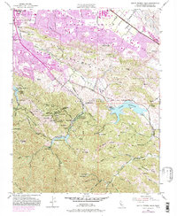
The New Almaden Mine complex anchors this mid-century view of the southern Santa Clara Valley, illustrating the industrial footprint of one of the world's most significant mercury mining operations. Nestled around Mine Hill, the map documents the proximity of laborers to their work through identified sites like English Town and Mexican Camp. Cultural history is particularly visible through the cluster of dedicated burial grounds, including the Old Mexican Cemetery, Hidalgo Cemetery, and Hacienda Cemetery. To the north, the encroaching urban tint of San Jose contrasts with the agricultural and ranching landscape of the Pueblo Lands of San Jose. Water management is prominent, with the Almaden Reservoir and Calero Reservoir regulating the drainage of the Santa Teresa Hills. Local institutions like the Hacienda Sch and several family-named landmarks like Peckham Ranch and Stile Ranch provide granular detail for genealogical research.
Find a feature on this map
71 named features on this map. Tap any name to fly to it.
Don’t see what you’re looking for? This feature index may not catch every label — zoom into the map to look around manually.
Map Details
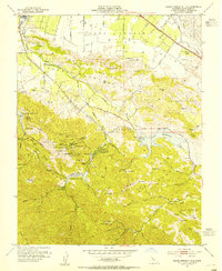
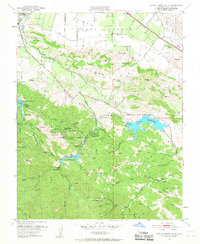
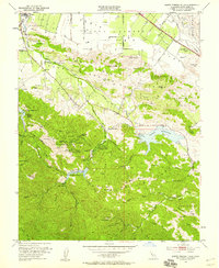
Editions of this 1953 Santa Teresa Hills Map
6 editions found
Other maps of this area

1889 · San Jose
USGS Topo · 1:62,500

1897 · San Jose
USGS Topo · 1:62,500

1897 · Mt. Hamilton
USGS Topo · 1:62,500

1899 · San Jose
USGS Topo · 1:62,500

1916 · New Almaden
USGS Topo · 1:48,000

1917 · Morgan Hill
USGS Topo · 1:62,500

1919 · New Almaden
USGS Topo · 1:62,500

1939 · Morgan Hill
USGS Topo · 1:62,500

1940 · Los Gatos
USGS Topo · 1:62,500

1941 · Morgan Hill
USGS Topo · 1:62,500