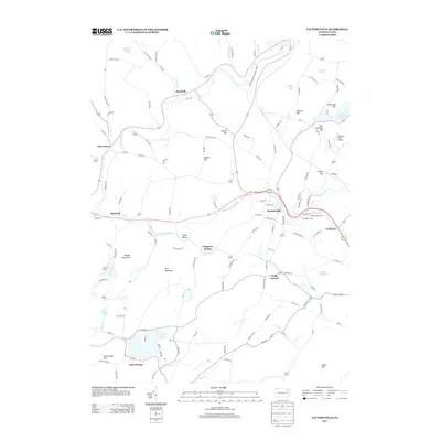
2013 Map of Factoryville
USGS Topo · Published 2013About this map
Factoryville serves as a central hub on this 2013 survey of the Wyoming County landscape, where the S Br Tunkhannock Cr and Ackerly Cr meet. The geography is defined by a series of named ridges and hollows, including Bunker Hill, Thomas Hill, and Carpenter Hollow, which steer the path of historical routes like the Abington and Waterford Tpke Rd. To the south, the significant waters of Lake Winola and its surrounding Greenwood Hill terrain indicate a long-established recreational and residential corridor. Local transportation history is evident in the naming of Tunnel Hill and the presence of the Seamans Field Airport near Lake Sheridan. The map also documents smaller established locales such as Starkville, East Lemon, and Walls Corners, providing a detailed view of rural Pennsylvania at the start of the 21st century.
Find a feature on this map
125 named features on this map. Tap any name to fly to it.
Don’t see what you’re looking for? This feature index may not catch every label — zoom into the map to look around manually.
Map Details
Editions of this 2013 Factoryville Map
This is the sole edition of this map. No revisions or reprints were ever made.
Other maps of this area

1889 · Scranton
USGS Topo · 1:62,500

1891 · Scranton
USGS Topo · 1:62,500

1892 · Dundaff
USGS Topo · 1:62,500

1893 · Pittston
USGS Topo · 1:62,500

1893 · Scranton
USGS Topo · 1:62,500

1943 · Scranton
USGS Topo · 1:125,000

1946 · Tunkhannock
USGS Topo · 1:62,500

1946 · Dalton
USGS Topo · 1:24,000

1946 · Ransom
USGS Topo · 1:24,000

1946 · Factoryville
USGS Topo · 1:24,000