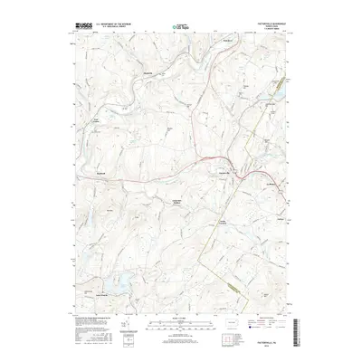
2016 Map of Factoryville
USGS Topo · Published 2016About this map
Factoryville and the surrounding hills of Wyoming and Lackawanna counties define this 2016 survey, where the South Branch Tunkhannock Creek winds through a landscape of historic valley settlements. The map highlights the academic grounds of Keystone Coll at La Plume and the concentrated residential development around Lake Winola to the south. This modern topographic record captures the transition from small-town centers like Nicholson and Dalton to the higher elevations of Casterline Hill and Bunker Hill.
Find a feature on this map
120 named features on this map. Tap any name to fly to it.
Don’t see what you’re looking for? This feature index may not catch every label — zoom into the map to look around manually.
Map Details
Editions of this 2016 Factoryville Map
This is the sole edition of this map. No revisions or reprints were ever made.
Other maps of this area

1889 · Scranton
USGS Topo · 1:62,500

1891 · Scranton
USGS Topo · 1:62,500

1892 · Dundaff
USGS Topo · 1:62,500

1893 · Pittston
USGS Topo · 1:62,500

1893 · Scranton
USGS Topo · 1:62,500

1943 · Scranton
USGS Topo · 1:125,000

1946 · Tunkhannock
USGS Topo · 1:62,500

1946 · Dalton
USGS Topo · 1:24,000

1946 · Ransom
USGS Topo · 1:24,000

1946 · Factoryville
USGS Topo · 1:24,000