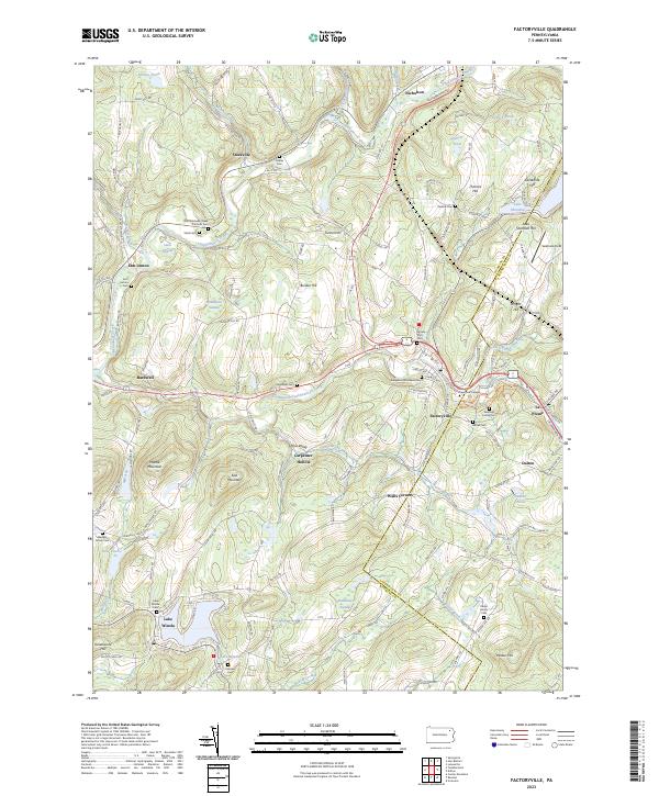
2023 Map of Factoryville
USGS Topo · Published 2023About this map
Tunkhannock Creek and its many tributaries, including South Branch Tunkhannock Creek and Oxbow Creek, carve a complex drainage pattern through the highlands of Wyoming and Lackawanna Counties. The settlement of Factoryville serves as a local hub, anchored by the campus of Keystone College. The landscape is notably dense with small family and denominational burial grounds, such as Saint Michaels Greek Catholic Cem, Seamans Family Cem, and Menger Family Cem, reflecting generations of rural residency and kinship ties in the hollows.
Find a feature on this map
138 named features on this map. Tap any name to fly to it.
Don’t see what you’re looking for? This feature index may not catch every label — zoom into the map to look around manually.
Map Details
Editions of this 2023 Factoryville Map
This is the sole edition of this map. No revisions or reprints were ever made.
Other maps of this area

1889 · Scranton
USGS Topo · 1:62,500

1891 · Scranton
USGS Topo · 1:62,500

1892 · Dundaff
USGS Topo · 1:62,500

1893 · Pittston
USGS Topo · 1:62,500

1893 · Scranton
USGS Topo · 1:62,500

1943 · Scranton
USGS Topo · 1:125,000

1946 · Tunkhannock
USGS Topo · 1:62,500

1946 · Dalton
USGS Topo · 1:24,000

1946 · Ransom
USGS Topo · 1:24,000

1946 · Factoryville
USGS Topo · 1:24,000