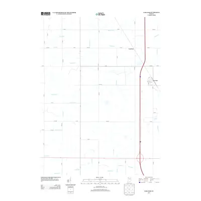
2013 Map of Fair Oaks
USGS Topo · Published 2013About this map
Fair Oaks and the smaller cluster of Pembroke anchor this rural landscape in Jasper County, defined by an intricate network of man-made waterways and reclaimed wetlands. The dominance of features such as Elijah Ditch, Beaver Lake Ditch, and Mud Lake Ditch reveals the extensive engineering required to manage the high water table and drainage of this region. This system of ditches and canals, including Moffitt Ditch and Wentworth Ditch, follows the rigid grid of county roads like Co RD-700 and N 400 E, which divide the agricultural land into precise blocks.
Find a feature on this map
55 named features on this map. Tap any name to fly to it.
Don’t see what you’re looking for? This feature index may not catch every label — zoom into the map to look around manually.
Map Details
Editions of this 2013 Fair Oaks Map
This is the sole edition of this map. No revisions or reprints were ever made.
Other maps of this area

1953 · Chicago
USGS Topo · 1:250,000

1953 · Danville
USGS Topo · 1:250,000

1955 · Danville
USGS Topo · 1:250,000

1956 · Danville
USGS Topo · 1:250,000

1957 · Chicago
USGS Topo · 1:250,000

1957 · DeMotte
USGS Topo · 1:24,000

1959 · Schneider
USGS Topo · 1:24,000

1959 · Shelby
USGS Topo · 1:24,000

1961 · Mount Ayr
USGS Topo · 1:24,000

1961 · Morocco
USGS Topo · 1:24,000