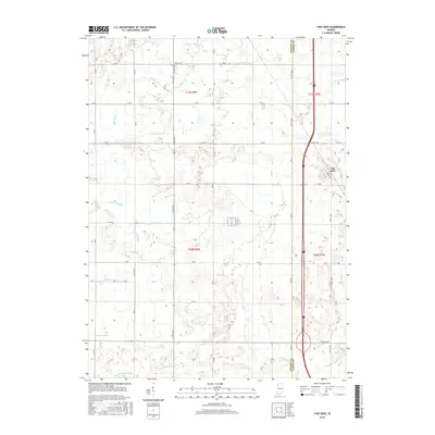
2016 Map of Fair Oaks
USGS Topo · Published 2016About this map
Fair Oaks serves as the primary settlement on this Indiana landscape, situated within a region defined by an extensive and intricate drainage network. The terrain is crisscrossed by numerous engineered waterways such as Beaver Lake Ditch, Wentworth Ditch, and Mud Lake Ditch, reflecting a legacy of land reclamation and water management essential for local agriculture. These features, along with natural watercourses like Curtis Cr, dictate the rural layout of the area.
Find a feature on this map
32 named features on this map. Tap any name to fly to it.
Don’t see what you’re looking for? This feature index may not catch every label — zoom into the map to look around manually.
Map Details
Editions of this 2016 Fair Oaks Map
This is the sole edition of this map. No revisions or reprints were ever made.
Other maps of this area

1953 · Chicago
USGS Topo · 1:250,000

1953 · Danville
USGS Topo · 1:250,000

1955 · Danville
USGS Topo · 1:250,000

1956 · Danville
USGS Topo · 1:250,000

1957 · Chicago
USGS Topo · 1:250,000

1957 · DeMotte
USGS Topo · 1:24,000

1959 · Schneider
USGS Topo · 1:24,000

1959 · Shelby
USGS Topo · 1:24,000

1961 · Mount Ayr
USGS Topo · 1:24,000

1961 · Morocco
USGS Topo · 1:24,000