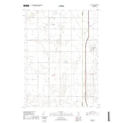
2019 Map of Fair Oaks
USGS Topo · Published 2019About this map
Fair Oaks serves as the primary hub of this northwestern Indiana landscape, situated on the border of Newton and Jasper counties. The area is defined by an extensive and sophisticated network of drainage infrastructure, reflecting a long history of reclaiming former marshlands for agriculture. Named channels such as Beaver Lake Ditch, Mud Lake Ditch, and Templeton Ditch crisscross the terrain, altering the natural flow of waterways like Curtis Cr. This engineered environment allowed for the development of a rigid road grid, including Division Rd and numerous numbered county routes. Genealogists will find the Fair Oaks Cem near the town center, a localized point of historical record within a region otherwise dominated by industrial-scale farming and the modern path of Interstate 65. The map illustrates the 21st-century state of these rural townships, where the primary economy remains tied to the managed hydrology of the Kankakee River basin.
Find a feature on this map
39 named features on this map. Tap any name to fly to it.
Don’t see what you’re looking for? This feature index may not catch every label — zoom into the map to look around manually.
Map Details
Editions of this 2019 Fair Oaks Map
This is the sole edition of this map. No revisions or reprints were ever made.
Other maps of this area

1953 · Chicago
USGS Topo · 1:250,000

1953 · Danville
USGS Topo · 1:250,000

1955 · Danville
USGS Topo · 1:250,000

1956 · Danville
USGS Topo · 1:250,000

1957 · Chicago
USGS Topo · 1:250,000

1957 · DeMotte
USGS Topo · 1:24,000

1959 · Schneider
USGS Topo · 1:24,000

1959 · Shelby
USGS Topo · 1:24,000

1961 · Mount Ayr
USGS Topo · 1:24,000

1961 · Morocco
USGS Topo · 1:24,000