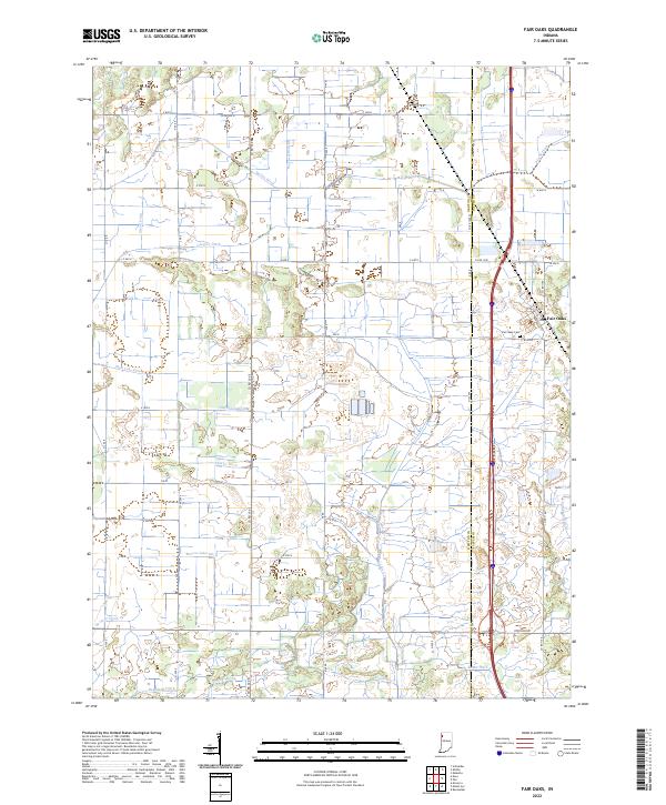
2022 Map of Fair Oaks
USGS Topo · Published 2022About this map
Fair Oaks serves as the primary settlement in this corner of the Indiana landscape, where the boundary between Newton Co and Jasper Co bisects the terrain. The map reveals an extensive and highly engineered drainage network that transformed this former marshland into productive agricultural territory. Named waterways like Beaver Lake Ditch, Mud Lake Ditch, and Templeton Ditch crisscross the township sections, signifying the massive 19th and 20th-century reclamation efforts that defined the Kankakee River basin region. Outside the concentrated hub of Fair Oaks, the area is characterized by a precise grid of rural roads and isolated farmsteads. Smaller landmarks, such as Fair Oaks Cemetery, provide critical reference points for local genealogists tracing family roots in this rural community. The concentration of ditches such as Hanley Ditch and Gregory Ditch illustrates the ongoing management of the water table necessary to maintain the local economy and infrastructure.
Find a feature on this map
37 named features on this map. Tap any name to fly to it.
Don’t see what you’re looking for? This feature index may not catch every label — zoom into the map to look around manually.
Map Details
Editions of this 2022 Fair Oaks Map
This is the sole edition of this map. No revisions or reprints were ever made.
Other maps of this area

1953 · Chicago
USGS Topo · 1:250,000

1953 · Danville
USGS Topo · 1:250,000

1955 · Danville
USGS Topo · 1:250,000

1956 · Danville
USGS Topo · 1:250,000

1957 · Chicago
USGS Topo · 1:250,000

1957 · DeMotte
USGS Topo · 1:24,000

1959 · Schneider
USGS Topo · 1:24,000

1959 · Shelby
USGS Topo · 1:24,000

1961 · Mount Ayr
USGS Topo · 1:24,000

1961 · Morocco
USGS Topo · 1:24,000