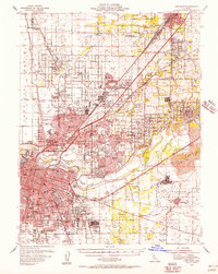
1954 Map of Fair Oaks
USGS Topo · Published 1957About this map
Sacramento and its burgeoning mid-century suburbs are the focus of this 1954 cultural revision, showing a region defined by post-war expansion and massive military installations. The map captures the dense urban core around the State Capitol and the northward reach of neighborhoods like Hagginwood and North Highlands toward McClellan Field. To the east, Mather Air Force Base sits adjacent to extensive Dredge Tailings along the American River, a stark visual reminder of the area's gold-mining legacy.
Find a feature on this map
158 named features on this map. Tap any name to fly to it.
Don’t see what you’re looking for? This feature index may not catch every label — zoom into the map to look around manually.
Map Details
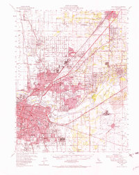
Editions of this 1954 Fair Oaks Map
2 editions found
Other maps of this area

1891 · Sacramento
USGS Topo · 1:125,000

1892 · Sacramento
USGS Topo · 1:125,000

1893 · Sacramento
USGS Topo · 1:125,000

1894 · Lodi
USGS Topo · 1:125,000

1902 · Fairoaks
USGS Topo · 1:62,500

1907 · Davisville
USGS Topo · 1:62,500

1908 · Courtland
USGS Topo · 1:62,500

1908 · Buffalo Creek
USGS Topo · 1:31,680

1909 · Elk Grove
USGS Topo · 1:31,680

1909 · Cosumnes
USGS Topo · 1:31,680