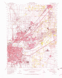
1954 Map of Fair Oaks
USGS Topo · Published 1965About this map
Sacramento and its burgeoning suburban periphery are documented here during a period of massive mid-century expansion. The landscape is defined by the convergence of major transportation and defense corridors, with the Southern Pacific and Western Pacific railroads threading through emerging neighborhoods like Del Paso Heights and North Sacramento. A significant military presence is evident at McClellan Field, Camp Kohler, and Mather Air Force Base, highlighting the region's importance to the national defense strategy during the Cold War era.
Find a feature on this map
126 named features on this map. Tap any name to fly to it.
Don’t see what you’re looking for? This feature index may not catch every label — zoom into the map to look around manually.
Map Details
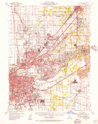
Editions of this 1954 Fair Oaks Map
2 editions found
Other maps of this area

1891 · Sacramento
USGS Topo · 1:125,000

1892 · Sacramento
USGS Topo · 1:125,000

1893 · Sacramento
USGS Topo · 1:125,000

1894 · Lodi
USGS Topo · 1:125,000

1902 · Fairoaks
USGS Topo · 1:62,500

1907 · Davisville
USGS Topo · 1:62,500

1908 · Courtland
USGS Topo · 1:62,500

1908 · Buffalo Creek
USGS Topo · 1:31,680

1909 · Elk Grove
USGS Topo · 1:31,680

1909 · Cosumnes
USGS Topo · 1:31,680