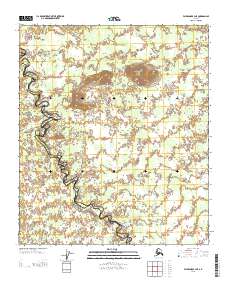
2013 Map of Fairbanks B-3 NE
USGS Topo · Published 2013About this map
Wood River Buttes rise as a prominent landform above the low-lying interior drainage basins where the Fairbanks North Star and Yukon-Koyukuk boundaries meet. This 2013 survey illustrates a landscape of complex hydrography, dominated by the winding course of the Wood River and the smaller feeder system of Crooked Cr. The terrain is characterized by intricate wetlands and numerous small ponds, with the buttes providing the only significant relief in the northern section of the quadrangle. The map captures this remote stretch of Alaska before any major road infrastructure or permanent settlements were established, reflecting the pristine state of the Tanana Valley's southern reaches. Local researchers can examine the interplay between the river's meandering oxbows and the upland elevations that break the surrounding marshy flats.
Find a feature on this map
7 named features on this map. Tap any name to fly to it.
Don’t see what you’re looking for? This feature index may not catch every label — zoom into the map to look around manually.
Map Details
Editions of this 2013 Fairbanks B-3 NE Map
This is the sole edition of this map. No revisions or reprints were ever made.
Other maps of this area

1949 · Fairbanks C-2
USGS Topo · 1:63,360

1949 · Fairbanks B-3
USGS Topo · 1:63,360

1950 · Fairbanks
USGS Topo · 1:250,000

1950 · Fairbanks C-3
USGS Topo · 1:63,360

1950 · Fairbanks B-2
USGS Topo · 1:63,360
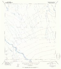
1951 · Fairbanks B-2
USGS Topo · 1:63,360

1951 · Fairbanks
USGS Topo · 1:250,000

1952 · Fairbanks C-2
USGS Topo · 1:63,360
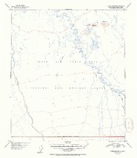
1952 · Fairbanks B-3
USGS Topo · 1:63,360
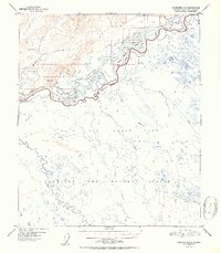
1952 · Fairbanks C-3
USGS Topo · 1:63,360