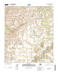
2013 Map of Fairbanks B-6 NE
USGS Topo · Published 2013About this map
Teklanika River meanders through this interior Alaska landscape, defining a complex network of oxbows and seasonal water bodies. This 2013 survey reveals the dynamic nature of the river valley, where the main channel is complemented by features like Teklanika Channel Lake. The terrain is characterized by low-lying wetlands and subtle elevation changes, typical of the Yukon-Koyukuk region. A notable human element in this wilderness is the Sled Rd, which cuts across the southern portion of the quadrangle. This path serves as a vital winter transport corridor in a region where permanent road infrastructure is nearly non-existent, illustrating the seasonal nature of travel and subsistence in the Alaskan bush.
Find a feature on this map
5 named features on this map. Tap any name to fly to it.
Don’t see what you’re looking for? This feature index may not catch every label — zoom into the map to look around manually.
Map Details
Editions of this 2013 Fairbanks B-6 NE Map
This is the sole edition of this map. No revisions or reprints were ever made.
Other maps of this area

1949 · Fairbanks B-5
USGS Topo · 1:63,360

1950 · Fairbanks
USGS Topo · 1:250,000

1950 · Fairbanks C-5
USGS Topo · 1:63,360

1950 · Fairbanks B-5
USGS Topo · 1:63,360

1951 · Fairbanks B-5
USGS Topo · 1:63,360

1951 · Fairbanks
USGS Topo · 1:250,000
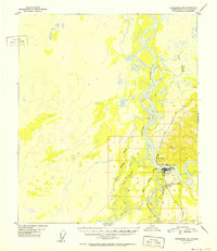
1952 · Fairbanks C-5
USGS Topo · 1:63,360

1952 · Fairbanks
USGS Topo · 1:250,000
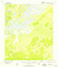
1953 · Fairbanks C-6
USGS Topo · 1:63,360
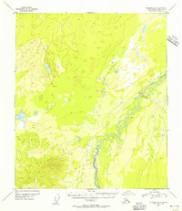
1953 · Fairbanks B-6
USGS Topo · 1:63,360