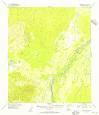
1953 Map of Fairbanks B-6
USGS Topo · Published 1956About this map
The Teklanika River dominates this mid-century survey of the Alaska interior, its tight meanders carving a complex path through the low-lying terrain. This 1953 map shows a landscape largely defined by its natural watercourses and seasonal transport routes rather than permanent settlement. A primary feature of human activity is the Sled Trail, which skirts the river valley and traverses the undulating topography to the north. These trails were critical winter corridors for movement across the territory before the expansion of the modern road network. The lack of named buildings or townships underscores the remote character of this region during the 1950s, emphasizing a period when survey efforts were focused on mapping the vast drainage basins of the Alaskan wilderness.
Find a feature on this map
2 named features on this map. Tap any name to fly to it.
Don’t see what you’re looking for? This feature index may not catch every label — zoom into the map to look around manually.
Map Details
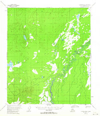
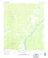
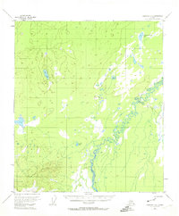
Editions of this 1953 Fairbanks B-6 Map
4 editions found
Other maps of this area

1948 · Kantishna River
USGS Topo · 1:250,000

1949 · Fairbanks B-5
USGS Topo · 1:63,360

1950 · Fairbanks
USGS Topo · 1:250,000

1950 · Fairbanks C-5
USGS Topo · 1:63,360

1950 · Fairbanks A-5
USGS Topo · 1:63,360

1950 · Fairbanks B-5
USGS Topo · 1:63,360

1951 · Kantishna River
USGS Topo · 1:250,000

1951 · Fairbanks B-5
USGS Topo · 1:63,360

1951 · Fairbanks
USGS Topo · 1:250,000

1951 · Fairbanks A-5
USGS Topo · 1:63,360