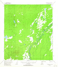
1953 Map of Fairbanks B-6
USGS Topo · Published 1964About this map
The Teklanika River winds through this interior Alaskan landscape, which was documented through aerial photography in the early 1950s. The map reveals a complex system of wetlands and small water bodies, including the uniquely named Comma Lake and Dune Lake. A primitive transportation network is represented by a Sled Trail that cuts across the terrain, indicating the seasonal routes used for movement through this remote territory before modern road development. The southern portion of the quadrangle is defined by the significant rise of the Hills, contrasting with the lower-lying areas where the Teklanika Channel Lake is situated. This survey captures a moment when land lines remained largely unsurveyed and unmarked, reflecting the frontier state of the region during the mid-twentieth century.
Find a feature on this map
6 named features on this map. Tap any name to fly to it.
Don’t see what you’re looking for? This feature index may not catch every label — zoom into the map to look around manually.
Map Details
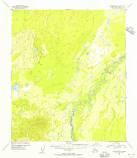
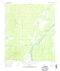
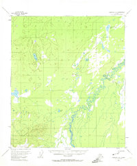
Editions of this 1953 Fairbanks B-6 Map
4 editions found
Other maps of this area

1948 · Kantishna River
USGS Topo · 1:250,000

1949 · Fairbanks B-5
USGS Topo · 1:63,360

1950 · Fairbanks
USGS Topo · 1:250,000

1950 · Fairbanks C-5
USGS Topo · 1:63,360

1950 · Fairbanks A-5
USGS Topo · 1:63,360

1950 · Fairbanks B-5
USGS Topo · 1:63,360

1951 · Kantishna River
USGS Topo · 1:250,000

1951 · Fairbanks B-5
USGS Topo · 1:63,360

1951 · Fairbanks
USGS Topo · 1:250,000

1951 · Fairbanks A-5
USGS Topo · 1:63,360