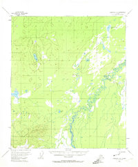
1953 Map of Fairbanks B-6
USGS Topo · Published 1974About this map
Teklanika River meanders sharply across this Alaskan landscape, defining the hydrology of an area marked by extensive wetlands and isolated lakes. Based on 1952 aerial photography, the map reveals a wilderness environment where water dominates the landforms. Features like Teklanika Channel Lake and the distinctively shaped Comma Lake appear alongside the expansive waters of Dune Lake, illustrating the complex drainage patterns of the interior.
Find a feature on this map
6 named features on this map. Tap any name to fly to it.
Don’t see what you’re looking for? This feature index may not catch every label — zoom into the map to look around manually.
Map Details
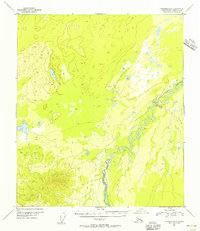
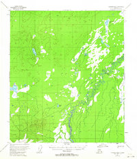
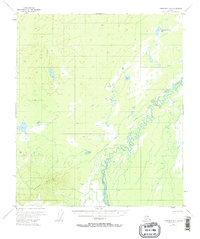
Editions of this 1953 Fairbanks B-6 Map
4 editions found
Other maps of this area

1948 · Kantishna River
USGS Topo · 1:250,000

1949 · Fairbanks B-5
USGS Topo · 1:63,360

1950 · Fairbanks
USGS Topo · 1:250,000

1950 · Fairbanks C-5
USGS Topo · 1:63,360

1950 · Fairbanks A-5
USGS Topo · 1:63,360

1950 · Fairbanks B-5
USGS Topo · 1:63,360

1951 · Kantishna River
USGS Topo · 1:250,000

1951 · Fairbanks B-5
USGS Topo · 1:63,360

1951 · Fairbanks
USGS Topo · 1:250,000

1951 · Fairbanks A-5
USGS Topo · 1:63,360