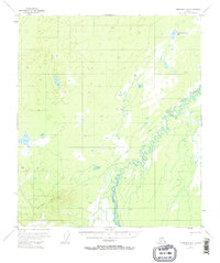
1953 Map of Fairbanks B-6
USGS Topo · Published 1974About this map
The Teklanika River meanders through this interior Alaska landscape, creating a complex network of oxbows and shifting channels characteristic of the region's glacial runoff patterns. Based on aerial photography from the early 1950s, this survey documents the wilderness south of Fairbanks before significant modern infrastructure reached these wetlands and lowlands. High ground is represented by the Totek Hills in the southwest, while the remainder of the terrain is defined by numerous small water bodies including Dune Lake, Comma Lake, and Teklanika Channel Lake. A prominent Sled Trail cuts through the northeast, indicating the historical reliance on winter transport routes for traversing this marshy environment. The map provides a rare look at the unsurveyed and unmarked land lines as they were predetermined by the Bureau of Land Management during this era.
Find a feature on this map
6 named features on this map. Tap any name to fly to it.
Don’t see what you’re looking for? This feature index may not catch every label — zoom into the map to look around manually.
Map Details
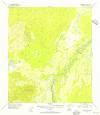
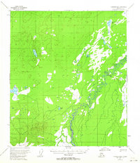
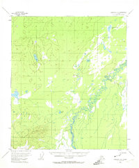
Editions of this 1953 Fairbanks B-6 Map
4 editions found
Other maps of this area

1948 · Kantishna River
USGS Topo · 1:250,000

1949 · Fairbanks B-5
USGS Topo · 1:63,360

1950 · Fairbanks
USGS Topo · 1:250,000

1950 · Fairbanks C-5
USGS Topo · 1:63,360

1950 · Fairbanks A-5
USGS Topo · 1:63,360

1950 · Fairbanks B-5
USGS Topo · 1:63,360

1951 · Kantishna River
USGS Topo · 1:250,000

1951 · Fairbanks B-5
USGS Topo · 1:63,360

1951 · Fairbanks
USGS Topo · 1:250,000

1951 · Fairbanks A-5
USGS Topo · 1:63,360