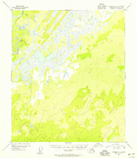
1953 Map of Fairbanks C-6
USGS Topo · Published 1956About this map
The Kantishna River winds through the northwestern corner of this 1950s landscape, marking a significant watercourse in a region defined by complex drainage and extensive wetlands. Compiled from aerial photography taken in 1952, the map illustrates the winding path of Rock Creek as it feeds into the larger river system among numerous unnamed lakes and marshes. The terrain is characterized by a high density of small ponds and swampy lowlands that transition into rising elevations to the south and east. Without established roads or settlements recorded at the time of the survey, the cartography highlights a pristine subarctic environment where the natural movement of water dictated access and navigation. This document serves as a baseline for the hydrological state of the Interior before later environmental shifts or modern development altered the drainage patterns of these specific tributaries.
Find a feature on this map
2 named features on this map. Tap any name to fly to it.
Don’t see what you’re looking for? This feature index may not catch every label — zoom into the map to look around manually.
Map Details
Editions of this 1953 Fairbanks C-6 Map
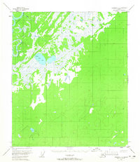
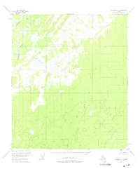
3 editions found
Other maps of this area

1948 · Kantishna River
USGS Topo · 1:250,000

1949 · Fairbanks B-5
USGS Topo · 1:63,360

1950 · Fairbanks
USGS Topo · 1:250,000

1950 · Fairbanks C-5
USGS Topo · 1:63,360

1950 · Fairbanks D-5
USGS Topo · 1:63,360

1950 · Fairbanks B-5
USGS Topo · 1:63,360

1951 · Kantishna River
USGS Topo · 1:250,000

1951 · Fairbanks B-5
USGS Topo · 1:63,360

1951 · Fairbanks
USGS Topo · 1:250,000
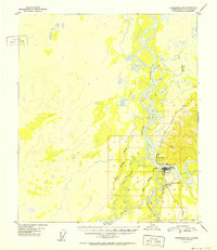
1952 · Fairbanks C-5
USGS Topo · 1:63,360