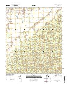
2013 Map of Fairbanks C-6 NE
USGS Topo · Published 2013About this map
Interior Alaska's interior landscape is primarily defined by the Public Land Survey System grid, which divides this region near the Fairbanks area into township and range sections. The terrain is characterized by a high concentration of small lakes and ponds in the northern sections, set against a backdrop of low-lying elevation contours that suggest a wetland or muskeg environment common to this part of the Yukon-Koyukuk region. While there are no named settlements or buildings indicated, the map traces the intersection of Range 10 West and Range 11 West, alongside the boundary between Township 2 South and Township 3 South. These survey lines serve as the primary markers for land division and navigation in this undeveloped stretch of the Alaskan wilderness.
Find a feature on this map
2 named features on this map. Tap any name to fly to it.
Don’t see what you’re looking for? This feature index may not catch every label — zoom into the map to look around manually.
Map Details
Editions of this 2013 Fairbanks C-6 NE Map
This is the sole edition of this map. No revisions or reprints were ever made.
Other maps of this area

1950 · Fairbanks
USGS Topo · 1:250,000

1950 · Fairbanks C-5
USGS Topo · 1:63,360

1950 · Fairbanks D-5
USGS Topo · 1:63,360

1951 · Fairbanks
USGS Topo · 1:250,000
1952 · Fairbanks C-5
USGS Topo · 1:63,360

1952 · Fairbanks
USGS Topo · 1:250,000
1952 · Fairbanks D-6
USGS Topo · 1:63,360
1953 · Fairbanks C-6
USGS Topo · 1:63,360
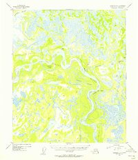
1954 · Fairbanks D-5
USGS Topo · 1:63,360
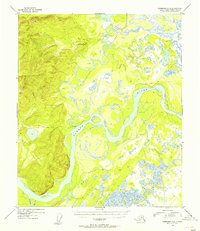
1954 · Fairbanks D-6
USGS Topo · 1:63,360