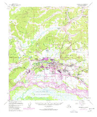
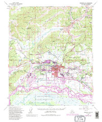
1954 Map of Fairbanks D-2
USGS Topo · Published 1977About this map
Fairbanks serves as the focal point of this interior Alaskan landscape, showing the city's relationship with the Tanana River and Chena River during a period of significant mid-century growth. The map details the urban core and neighboring communities like College, Slaterville, and Hamilton Acres, while documenting the massive presence of the Fort Wainwright military reservation and the Wainwright Army Airfield to the east. The industrial and educational foundations of the region are evident through the sprawling University of Alaska campus and the route of the Alaska Railroad. North of the city, the terrain rises toward Murphy Dome and Gold Hill, where a legacy of resource extraction is marked by the presence of a Gold Mine and numerous creek-side claims. This survey provides a record of the region's transport network, from the Steese Highway to the specialized Gilmore Data Acquisition Facility.
Find a feature on this map
103 named features on this map. Tap any name to fly to it.
Don’t see what you’re looking for? This feature index may not catch every label — zoom into the map to look around manually.
Map Details
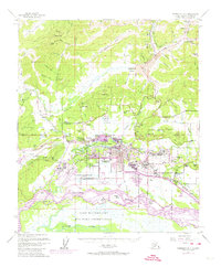
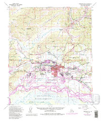
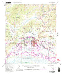
Editions of this 1954 Fairbanks D-2 Map
5 editions found
Other maps of this area

1945 · Livengood
USGS Topo · 1:250,000

1949 · Fairbanks D-1
USGS Topo · 1:62,500

1949 · Fairbanks D-2
USGS Topo · 1:62,500

1949 · Fairbanks C-1
USGS Topo · 1:63,360

1949 · Fairbanks D-3
USGS Topo · 1:63,360

1949 · Fairbanks C-2
USGS Topo · 1:63,360

1950 · Fairbanks
USGS Topo · 1:250,000

1950 · Fairbanks C-3
USGS Topo · 1:63,360

1950 · Fairbanks C-1
USGS Topo · 1:63,360

1950 · Fairbanks D-3
USGS Topo · 1:63,360