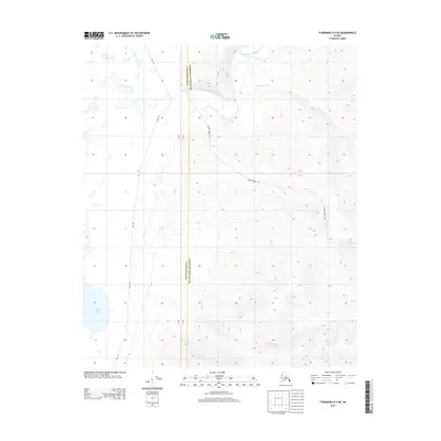
2013 Map of Fairbanks D-4 NE
USGS Topo · Published 2013About this map
The Chatanika River flows through a landscape defined by the transition between the Fairbanks North Star and Yukon-Koyukuk administrative boundaries. This interior Alaskan terrain is shaped by water and elevation, featuring the expansive Minto Lakes to the west and rising ground accessed via Murphy Dome Rd. The presence of several named seasonal routes, such as the Sled Rd, illustrates the traditional and modern reliance on winter trails for navigation through the low-lying wetlands and creek systems. Drainages including Hard Luck Cr and Fortune Cr cut through the rising contours, marking the hydrography of the region in the early twenty-first century. The map documents a sparsely populated area where geographical landmarks and managed boundaries take precedence over permanent settlements.
Find a feature on this map
7 named features on this map. Tap any name to fly to it.
Don’t see what you’re looking for? This feature index may not catch every label — zoom into the map to look around manually.
Map Details
Editions of this 2013 Fairbanks D-4 NE Map
This is the sole edition of this map. No revisions or reprints were ever made.
Other maps of this area

1945 · Livengood
USGS Topo · 1:250,000

1949 · Fairbanks D-3
USGS Topo · 1:63,360

1949 · Fairbanks D-4
USGS Topo · 1:63,360

1950 · Fairbanks
USGS Topo · 1:250,000

1950 · Fairbanks D-3
USGS Topo · 1:63,360

1951 · Fairbanks
USGS Topo · 1:250,000

1951 · Livengood
USGS Topo · 1:250,000

1951 · Livengood A-4
USGS Topo · 1:63,360

1952 · Fairbanks D-3
USGS Topo · 1:63,360

1952 · Fairbanks D-4
USGS Topo · 1:63,360