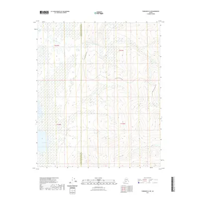
2021 Map of Fairbanks D-4 NE
USGS Topo · Published 2021About this map
The Chatanika River meanders through this interior Alaska landscape, carving a wide valley that defines the northern portion of the region. This 2021 survey shows a terrain marked by significant elevation changes, where the high ridges are accessed by the Murphy Dome Road Extension. These upland areas provide the drainage headwaters for several smaller waterways, including Hard Luck Cr in the north and Fortune Cr to the south. The map documents the boundary between the Yukon-Koyukuk Census Area and the Fairbanks North Star Borough, illustrating how modern administrative lines are superimposed over this remote wilderness. The lack of concentrated settlements highlights the area's character as a resource-rich corridor primarily defined by its topographic and hydrologic features.
Find a feature on this map
9 named features on this map. Tap any name to fly to it.
Don’t see what you’re looking for? This feature index may not catch every label — zoom into the map to look around manually.
Map Details
Editions of this 2021 Fairbanks D-4 NE Map
This is the sole edition of this map. No revisions or reprints were ever made.
Other maps of this area

1945 · Livengood
USGS Topo · 1:250,000

1949 · Fairbanks D-3
USGS Topo · 1:63,360

1949 · Fairbanks D-4
USGS Topo · 1:63,360

1950 · Fairbanks
USGS Topo · 1:250,000

1950 · Fairbanks D-3
USGS Topo · 1:63,360

1951 · Fairbanks
USGS Topo · 1:250,000

1951 · Livengood
USGS Topo · 1:250,000

1951 · Livengood A-4
USGS Topo · 1:63,360

1952 · Fairbanks D-3
USGS Topo · 1:63,360

1952 · Fairbanks D-4
USGS Topo · 1:63,360