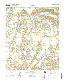
2013 Map of Fairbanks D-5 SW
USGS Topo · Published 2013About this map
The Tanana River cuts through the northwest corner of this Interior Alaska landscape, defining a complex hydrologic network in the Yukon-Koyukuk region. This 2013 survey reveals a vast wetland environment characterized by numerous unnamed ponds and drainage patterns typical of the river's floodplains. To the east, Lunch Lake and Sawmill Slough provide primary geographic reference points within an otherwise transitionary landscape of water and low-lying terrain. The lack of established road infrastructure or named settlements highlights the isolated nature of this area, where seasonal water levels and the shifting course of the river remain the dominant forces shaping the land.
Find a feature on this map
7 named features on this map. Tap any name to fly to it.
Don’t see what you’re looking for? This feature index may not catch every label — zoom into the map to look around manually.
Map Details
Editions of this 2013 Fairbanks D-5 SW Map
This is the sole edition of this map. No revisions or reprints were ever made.
Other maps of this area

1950 · Fairbanks
USGS Topo · 1:250,000

1950 · Fairbanks C-5
USGS Topo · 1:63,360

1950 · Fairbanks D-5
USGS Topo · 1:63,360

1951 · Fairbanks
USGS Topo · 1:250,000
1952 · Fairbanks C-5
USGS Topo · 1:63,360

1952 · Fairbanks
USGS Topo · 1:250,000
1952 · Fairbanks D-6
USGS Topo · 1:63,360
1953 · Fairbanks C-6
USGS Topo · 1:63,360
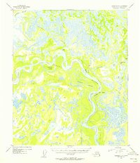
1954 · Fairbanks D-5
USGS Topo · 1:63,360
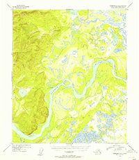
1954 · Fairbanks D-6
USGS Topo · 1:63,360