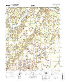
2013 Map of Fairbanks D-6 SE
USGS Topo · Published 2013About this map
Tanana River dominates the northern landscape of this interior Alaska wilderness, its shifting braided channels and sandbars cutting through a complex network of wetlands and small lakes. Surveyed in the early 21st century, the map reveals a remote section of the Yukon-Koyukuk region where the water's path defines the boundaries of the Public Land Survey System, specifically where Township 1 North meets Township 1 South. The terrain south of the river is characterized by hundreds of unnamed ponds and marshes, illustrating the saturation of the low-lying basin. This cartographic study from the U.S. Geological Survey serves as a modern baseline for the hydrological patterns of one of the state's most significant glacial river systems.
Find a feature on this map
4 named features on this map. Tap any name to fly to it.
Don’t see what you’re looking for? This feature index may not catch every label — zoom into the map to look around manually.
Map Details
Editions of this 2013 Fairbanks D-6 SE Map
This is the sole edition of this map. No revisions or reprints were ever made.
Other maps of this area

1950 · Fairbanks
USGS Topo · 1:250,000

1950 · Fairbanks C-5
USGS Topo · 1:63,360

1950 · Fairbanks D-5
USGS Topo · 1:63,360

1951 · Fairbanks
USGS Topo · 1:250,000
1952 · Fairbanks C-5
USGS Topo · 1:63,360

1952 · Fairbanks
USGS Topo · 1:250,000
1952 · Fairbanks D-6
USGS Topo · 1:63,360
1953 · Fairbanks C-6
USGS Topo · 1:63,360
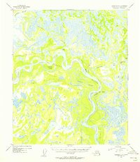
1954 · Fairbanks D-5
USGS Topo · 1:63,360
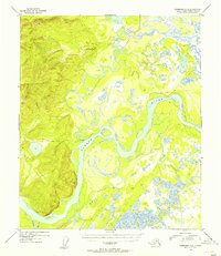
1954 · Fairbanks D-6
USGS Topo · 1:63,360