1957 Map of Fairburn
USGS Topo · Published 1963About this map
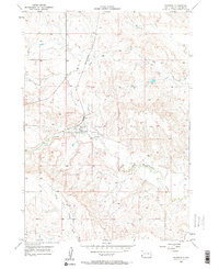
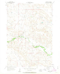
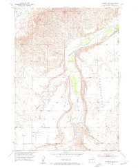
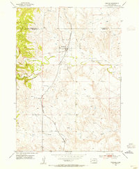
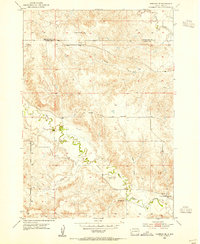
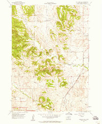
Fairburn serves as the central hub of this mid-century Custer County survey, situated at a critical junction of rail and water. The town is positioned where the Chicago and North Western railroad cuts through the landscape, crossing the winding path of French Creek. This drainage system, including the South Fork French Creek and the seasonally named Dry Creek, dictates the topography of the surrounding terrain. To the east of the settlement, the Fairburn Cem stands as a primary landmark for genealogical research. The map reflects a period of specific interest by the United States Atomic Energy Commission, as noted in the margin, suggesting the era's focus on geologic potential in western South Dakota. The detailed grid of section lines and elevations reveals a ranching landscape defined by its waterways and the enduring presence of the railroad line.
Find a feature on this map
6 named features on this map. Tap any name to fly to it.
Don’t see what you’re looking for? This feature index may not catch every label — zoom into the map to look around manually.
Map Details
Editions of this 1957 Fairburn Map

Other maps of this area

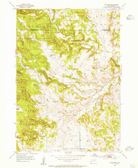
1894 · Hermosa
USGS Topo · 1:125,000

1901 · Hermosa
USGS Topo · 1:125,000
1951 · Fairburn SE
USGS Topo · 1:24,000
1953 · Hermosa
USGS Topo · 1:24,000
1953 · Hermosa SE
USGS Topo · 1:24,000
1954 · Hayward
USGS Topo · 1:24,000
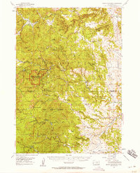
1954 · Mount Rushmore
USGS Topo · 1:62,500

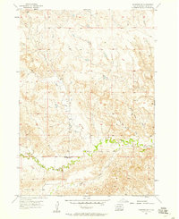
1955 · Hot Springs
USGS Topo · 1:250,000
1957 · Fairburn NE
USGS Topo · 1:24,000
1957 · Butcher Hill
USGS Topo · 1:24,000