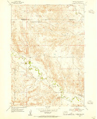
1957 Map of Fairburn
USGS Topo · Published 1963About this map
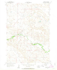
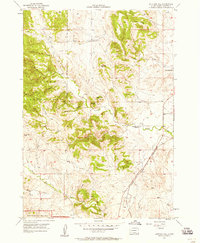
Fairburn serves as the primary hub of activity in this Custer County landscape during the mid-1950s. The settlement's proximity to the Chicago And North Western railroad line highlights the town's role as a transit point on the eastern edge of the Black Hills region. This survey, conducted with the assistance of the Atomic Energy Commission, documents a semi-arid terrain defined by the winding course of French Creek and its tributary, South Fork French Creek.
Find a feature on this map
7 named features on this map. Tap any name to fly to it.
Don’t see what you’re looking for? This feature index may not catch every label — zoom into the map to look around manually.
Map Details
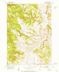
Editions of this 1957 Fairburn Map

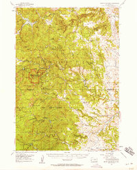
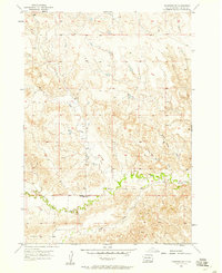
Other maps of this area

1894 · Hermosa
USGS Topo · 1:125,000

1901 · Hermosa
USGS Topo · 1:125,000
1951 · Fairburn SE
USGS Topo · 1:24,000
1953 · Hermosa
USGS Topo · 1:24,000
1953 · Hermosa SE
USGS Topo · 1:24,000
1954 · Hayward
USGS Topo · 1:24,000
1954 · Mount Rushmore
USGS Topo · 1:62,500

1955 · Hot Springs
USGS Topo · 1:250,000
1957 · Fairburn NE
USGS Topo · 1:24,000
1957 · Butcher Hill
USGS Topo · 1:24,000