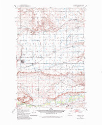
1950 Map of Fairfield
USGS Topo · Published 1987About this map
Fairfield stands at the heart of an engineered agricultural landscape in north-central Montana, defined by a dense grid of roads and an intricate irrigation network. This mid-century survey, mapped by the Geological Survey and the Bureau of Reclamation, illustrates the transformation of the high plains through the Greenfield Main Canal and its numerous laterals, including the First Bench Canal and Second Bench Canal. These waters diverted from the Sun River allowed for the settlement of the Bole Bench and surrounding flats, creating a structured township system visible in the numbered roads from First Road North to Sixth Road North.
Find a feature on this map
35 named features on this map. Tap any name to fly to it.
Don’t see what you’re looking for? This feature index may not catch every label — zoom into the map to look around manually.
Map Details
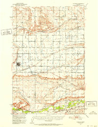
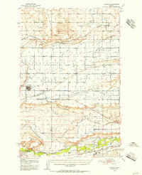
Editions of this 1950 Fairfield Map
4 editions found
Other maps of this area

1886 · Great Falls
USGS Topo · 1:250,000

1920 · Choteau
USGS Topo · 1:125,000

1943 · Hogan
USGS Topo · 1:125,000

1949 · Cascade
USGS Topo · 1:62,500

1949 · Vaughn
USGS Topo · 1:62,500

1950 · Fairfield
USGS Topo · 1:62,500

1950 · Dutton
USGS Topo · 1:62,500

1950 · Collins
USGS Topo · 1:62,500

1951 · Cascade
USGS Topo · 1:62,500

1952 · Vaughn
USGS Topo · 1:62,500